
Cosmick
-
Posts
760 -
Joined
-
Last visited
-
Days Won
4
Content Type
Profiles
Forums
Gallery
Downloads
Blogs
Events
Store
Aircraft
Resources
Tutorials
Articles
Classifieds
Movies
Books
Community Map
Quizzes
Posts posted by Cosmick
-
-
Something with a useful carrying capacity of over say 250kg, 80+kt cruise at 65% power and low Stall.
-
 1
1
-
-
Great shots Wayne, Thanks
-
-
Sitting here reading posts I look at an Avatar and get side-tracked.
 Looking at the Male Symbol, fairly illustrative, something protruding at an interested angle. Had to be bigger didn't it. Anyway what does the Female Symbol illustrate. My guess would be crossed legs.
-
 1
1
-
-
-
Probably better if you don't know in advance. The CFI says just pull over here and gets out.
Should be a collection of photo's on the wall of the students faces at that precise moment.
-
 1
1
-
1
-
-
Took the GT500 on the Poker Run, twas a good day. Camera battery let me down for 2 landings and forgot to turn it on leaving McCarron's.
-
4
-
-
JG's ( JG3 this forum ) website Stolspeed has a Map of available fuel
StolSpeed Aerodynamics - Performance Enhancement for Light Aircraft
-
1
-
-
Love it, Maps, ruler, protractor, Wizz wheel computer with wind calculated, stopwatch, pencils, rubber, Highlighter, fuel caculations, weather reports, notams - in different pockets, attached to kneepad. Flying along juggling the lot when you hear the instructor request a diversion to different Airport AND still fly the Plane.
One flight I dropped the ruler under the seat and hand to land to find it.-
2
-
-
I see this years event 5/10/16 ?
As the 5th is a Wednesday probably just a carry over from previous years. :(
-
I now use Castrol Active T2 but had used Penrite Hi-Per 2 stroke for years. Changed as Pentrite not on the Rotax recommended list below -
http://docusearch.flyrotax.com/files/pdf/d04362.pdf
FH Yep
-
Windyty has winds, temperature and cloud at different altitudes up to 2 weeks forecast. Great for looking for that tail wind
PS> Just noticed previously mentioned by Horsefeathers. Still worth a second mention as is a fantastic tool.
-
 2
2
-
-
-
A story of Chris Brandon's journey with weight shift in Aus. At the end of the story the debacle getting Air Creation Approval from CAA.
Flying trikes powered hang gliders & microlight in the 1990's
-
I still use Oziexplorer on the PC to look at routes, measure distances etc as I have a full (aged) set of Aviation Charts and you can utilise Google Maps inc Satellite/hybrid . I use as reference when planning on Ozrunways.
-
There is a Rabbit Warren of Mine Shafts under that place.
-
1
-
-
Details of your flights are recorded on tx.ozrunways.com and can be viewed there or downloaded to be viewed on Google Earth.
Scenario - At 4000' over Childers where I was to meet Mick (Hargraves) this forum for a local flight. Couldn't raise him on the radio then I notice his white bird parked outside the clubhouse below. Then the radio pipes up "You coming down for a cuppa" yep, so power off and quick decent. Nicely recorded by OZR.
-
4
-
-
Nice Tats (I think)
-
-
450km in 25 mins.
-
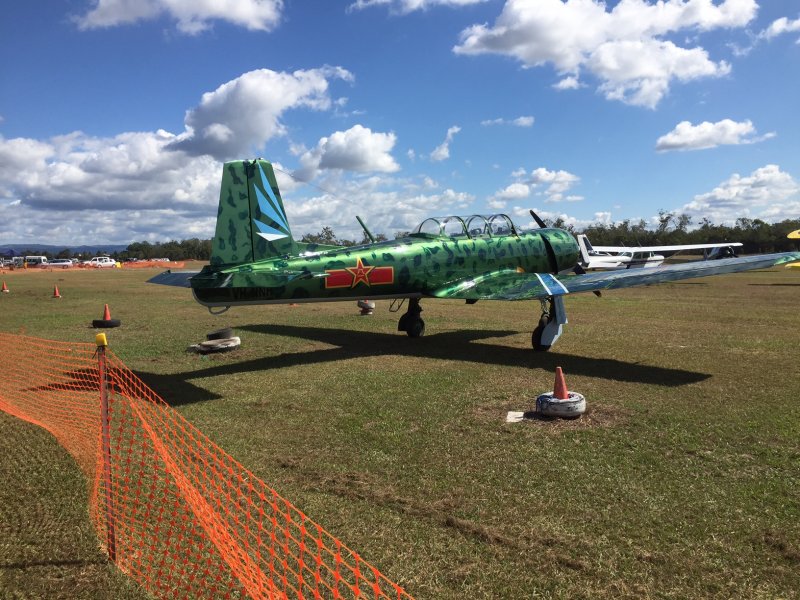
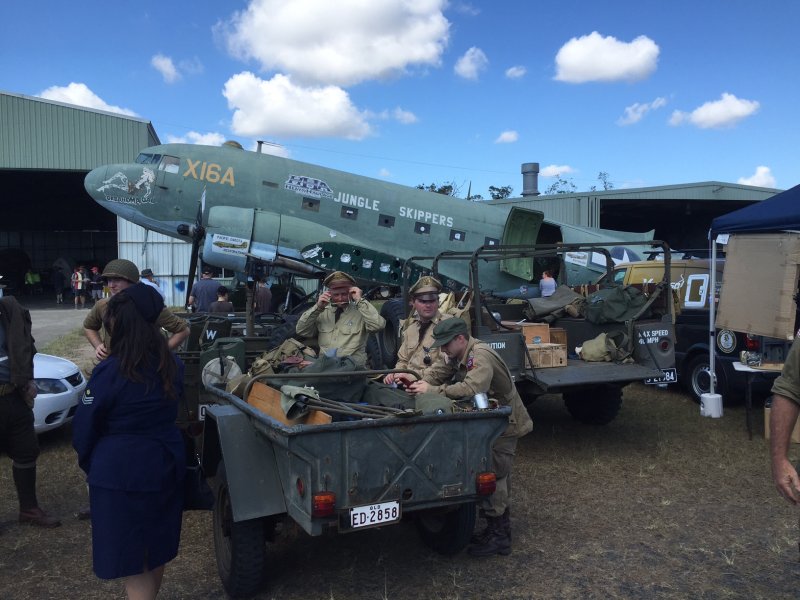
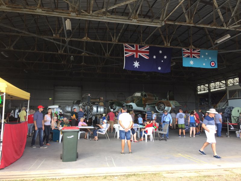
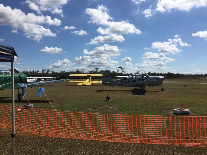
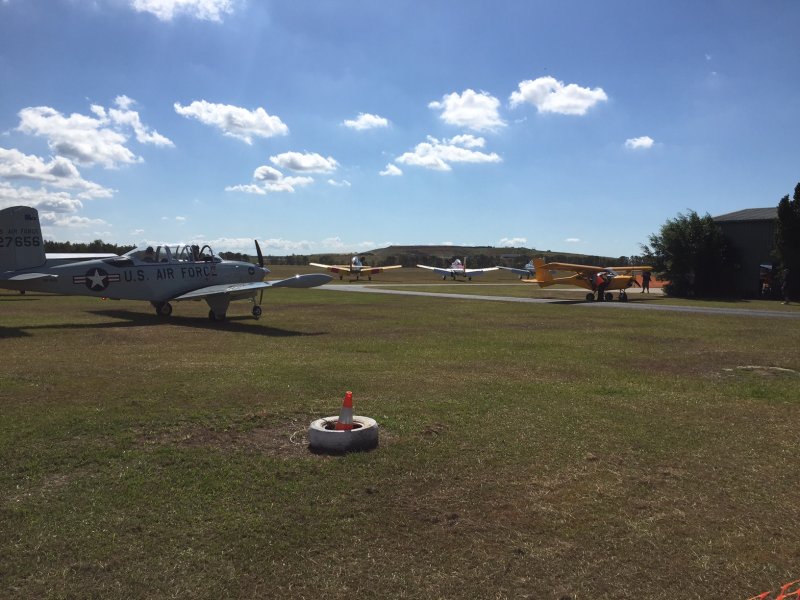
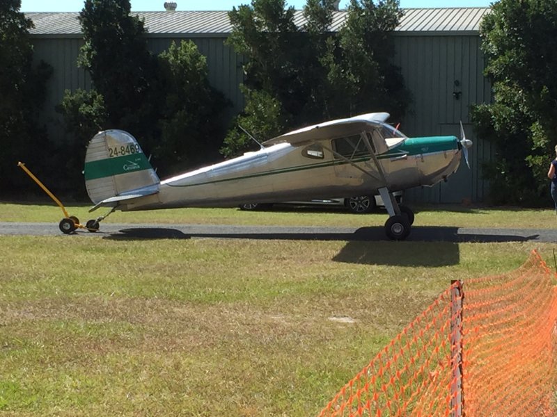
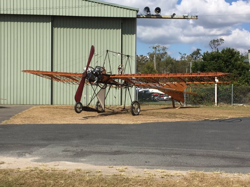
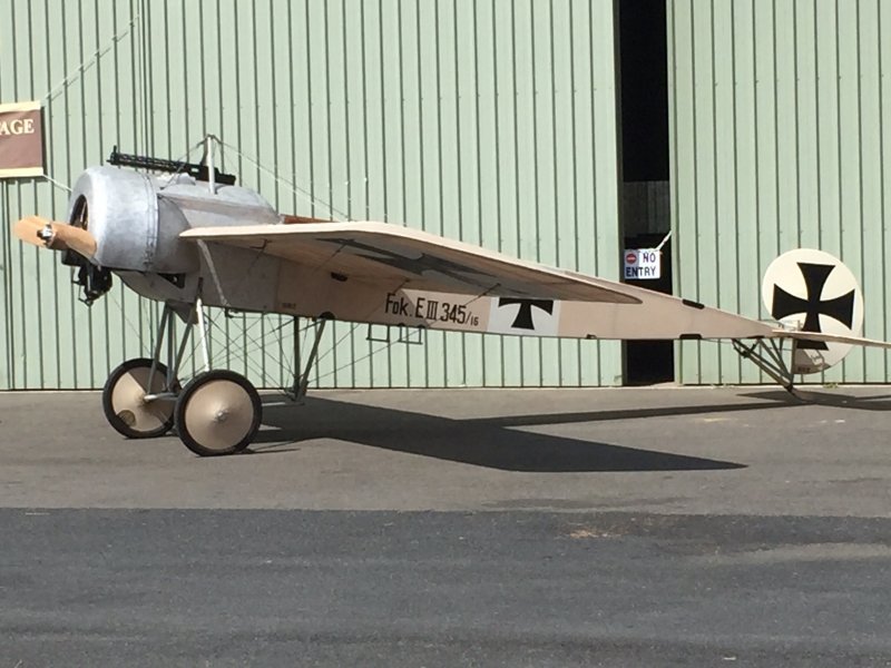
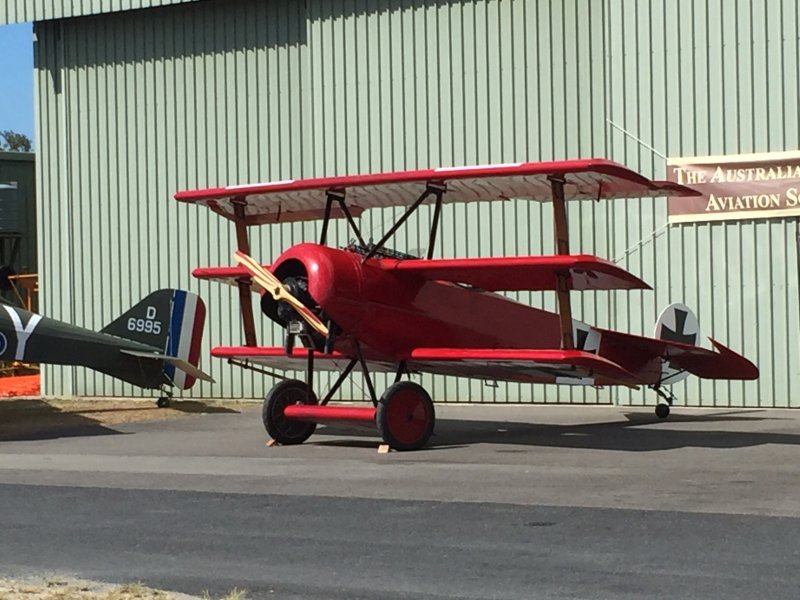
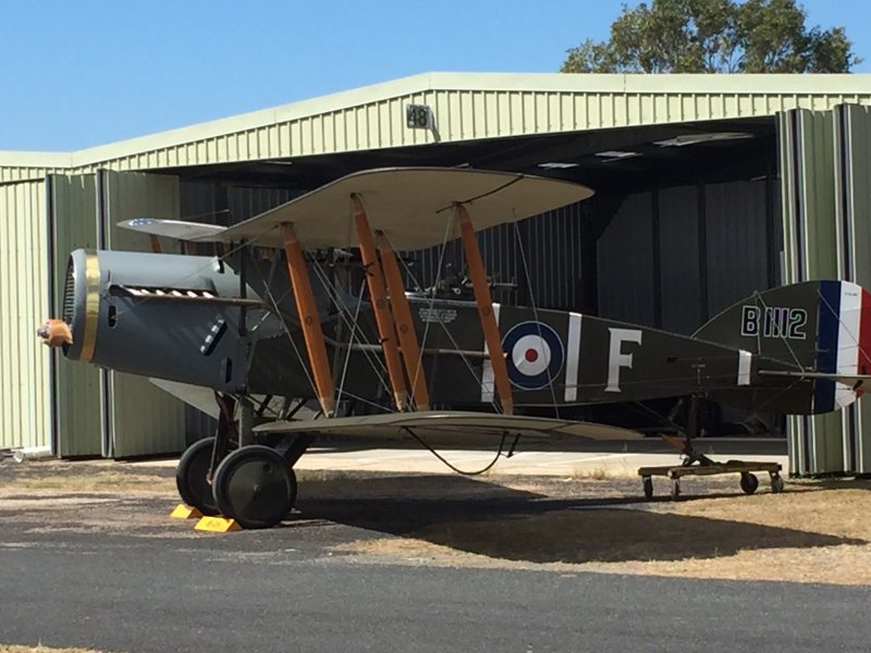
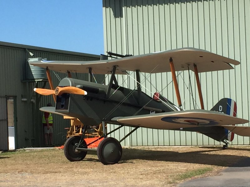
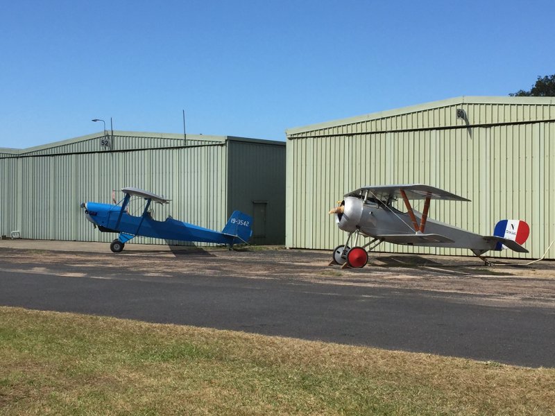
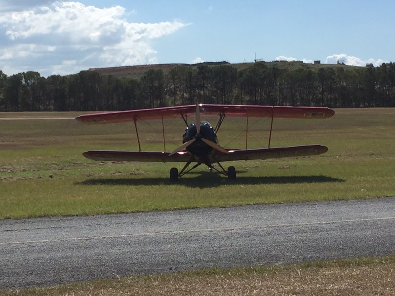
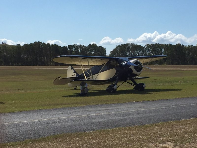
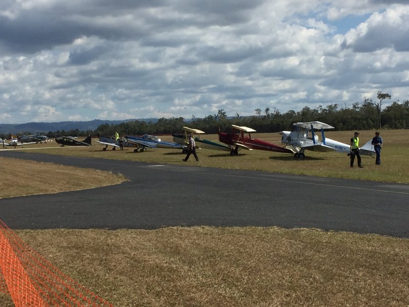
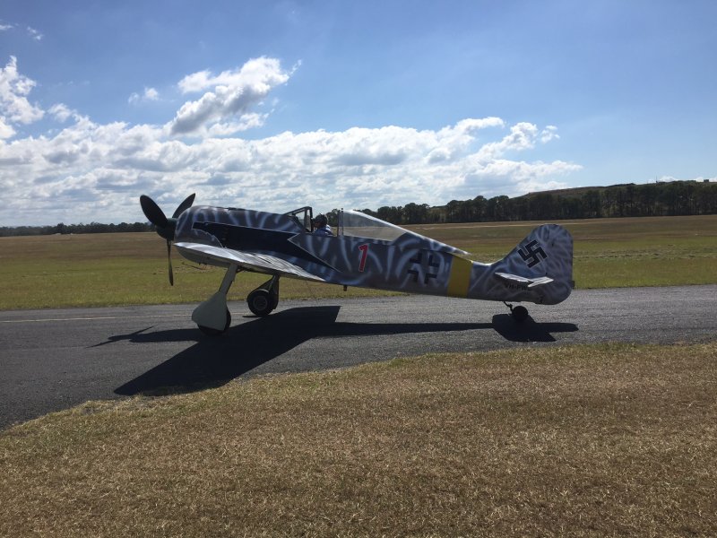
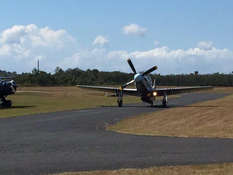
A few more pics from Day 1.........
-
6
-
 1
1
-
-
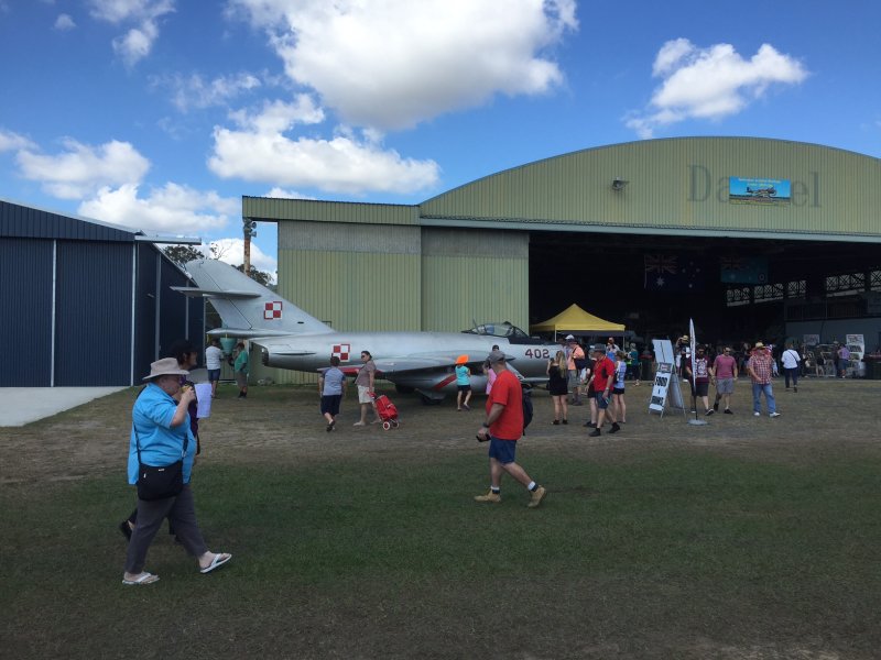
CABOOLTURE AERODROME 23RD AND 24TH APRIL 2016
SATURDAY AND SUNDAY 9AM TO 3PM
http://www.vintageflyin.com.au
-
And for interest sake, the 10 worst Air Crashes in Australia .............
http://www.ozatwar.com/ozcrashes/10worst.htm
-
Bit of History that most aren't aware of .............
The worst aviation disaster involving Australians occurred in New Guinea during WWII when a B-24 Liberator crashed killing the crew of eleven men and sixty soldiers of the 2/33rd Battalion and two drivers from the 158th General Transport Company. An additional 90 men suffered horrendous burns in this tragic incident.
http://www.liberatorcrash.com/
-
 1
1
-
 One flight I dropped the ruler under the seat and hand to land to find it.
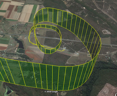
PPC over Ringwood (Vic) Golf Club
in Trikes and Microlight Aircraft Usergroup
Posted
PPC has similar rules. 1000ft over built up areas (within gliding distance of a emergency landing oppertunity) but can fly down to 300ft over non built up. Same same but different. There are a few paddocks there which could be used for take off and landing.