Garfly
-
Posts
3,047 -
Joined
-
Last visited
-
Days Won
67
Content Type
Profiles
Forums
Gallery
Downloads
Blogs
Events
Store
Aircraft
Resources
Tutorials
Articles
Classifieds
Movies
Books
Community Map
Quizzes
Videos Directory
Everything posted by Garfly
-
RA-Aus Not Investigating Accidents.
Garfly replied to APenNameAndThatA's topic in Aircraft Incidents and Accidents
Yeah, I wouldn't have thought otherwise, Nev. I should have included a quote to make it clear who and what I was reacting to. In this case: APenNameAndThatA said: "I agree with you. And if RA-Aus was more sophisticated, that’s the reason RA-Aus would have stated. Just to restate: the logical reason you gave is not RA-Aus’s reason, otherwise they would have said so. 🤦♂️🤦♂️🤦♂️🤦♂️🤦♂️🤦♂️🤦♂️🤦♂️🤦♂️🤦♂️. If only they had spoken to you first. " -
RA-Aus Not Investigating Accidents.
Garfly replied to APenNameAndThatA's topic in Aircraft Incidents and Accidents
You have to cut RAAus a bit of slack here since much of the horse-trading would, necessarily, be happening behind the scenes. What matters is not winning the argument but winning the day. And RAAus has made it clear that a good outcome for them would be the government deciding to properly fund the ATSB to do its job; the whole of it, and that includes us. After all, most of the lessons learned from RA accidents are perfectly applicable to the GA scene. In NZ and other jurisdictions, the arbitrary distinction would seem absurd. I wouldn't be surprised if the ATSB quite agrees with RAAus. They may welcome just such an extended role if only they had the financial wherewithal. No other outfit has the expertise, arms-length-status nor the legal protections that they do. But who knows? It's hard to say what goes on in bureaucratic backrooms, but equally, it's hardly fair to judge RAAus' strategy without knowing. Be that as it may, the organisation has put its position publicly and clearly, most recently in this ABC report on the Nullarbor tragedy: " ... Esperance Detectives took on the case after the Australian Transport Safety Bureau (ATSB) declined to investigate, saying it typically did not investigate recreational aircraft accidents. Recreational Aviation Australia (RAA) criticised the move, saying it wrote to the Minister for Transport Catherine King in November raising concerns about the ATSB's inability to conduct investigations due to limited funding. "We have seen at least five fatal accidents in the past 12 months and many in the years prior where the ATSB has chosen to not investigate," RAA chief executive Matt Bouttell wrote in the letter. "This equates to a significant cost to the Australian people through awaiting State Coroners to arrive at findings that often result in diminished safety outcomes due to a lack of subject matter expertise during the investigation and evidence-gathering phase. Mr Boutell told the ABC that RAA has provided police with technical support in the past, but it has no legislative powers to conduct fatal accident investigations. "We have previously provided police with on-site support at accidents, including performing analysis around the circumstances of the accident however, in recent times it's become clear that due to the lack of legislative protections, we cannot keep 'propping up' the ATSB by doing so," he said." "We have therefore said enough is enough, and that the Government should fund the ATSB for the purpose it is established for." https://www.abc.net.au/news/2022-12-20/pilot-in-nullarbor-crash-identified-as-43-year-old-perth-father/101793432 -
The
-
RA-Aus Not Investigating Accidents.
Garfly replied to APenNameAndThatA's topic in Aircraft Incidents and Accidents
It's not as if nothing along these lines has ever been thought of, or that no procedures are, in fact, in place. To start with, a few excerpts from the RAAus website: "Fatal Accident Investigation Process RAAus has developed an emergency response plan to ensure serious and fatal accidents are managed ... ... First and foremost is the fact that RAAus is not able to attend any accident scene without the express permission or invitation from local authorities, usually the police who are despatched to the accident scene. In some cases RAAus is not invited and instead the ATSB may investigate or a third party may be invited to work with police. It is always RAAus' preference that the ATSB investigates RAAus accidents due to their increased resources and investigative capabilities, however when they elect to not investigate, RAAus offers technical assistance to the police in order to provide aviation expertise by trained aviation accident consultants .... Who are RAAus Accident Consultants (ACs)? Accident Consultants (ACs) are typically RAAus employees who are requested to assist at accident sites. ACs who are employees of RAAus are required to complete the ATSB Accident Investigation Training, or an equivalent course, to formalise their qualifications. RAAus is also supported by other subject matter experts and the ATSB. Role of the RAAus Accident Consultant Due to the specialist nature of aviation accident investigations, the police may request assistance from RAAus as Subject Matter Experts (SME) and in a specialist advisory role. This is the only way RAAus can attend an accident scene. RAAus has no authority or power to enter an aircraft accident without an express invitation from the police or local authorities. An RAAus Accident Consultant (AC) is only there to assist the police in their investigation and to gather the facts and present them to the police. Under no circumstances are staff expected to lead the investigation. RAAus ACs do not have any jurisdiction under the Transport Safety Investigation (TSI) Act 2003. The role is intended to provide the police based Investigating Officer (IO) of any aviation related hazards and specific industry or aviation knowledge to assist them in their investigation. When an AC is dispatched to an accident, incident or other emergency site they are to abide by RAAus AC policies, procedures and checklists. Processes and Procedures .... Regardless of who provides the notification, RAAus’ first action is to check our database for the aircraft file to determine whether a ballistic parachute system is fitted or if any other dangers exist. This is provided as advice to first responders to ensure they are aware of potential hazards when conducting onsite rescue efforts ... ... The ATSB may elect to investigate a RAAus accident, in which case RAAus presence is simply to provide RAAus operations subject matter expertise. ATSB assesses the safety value of ATSB attendance at an accident and generally the investigation is conducted by police with assistance by RAAus. The ATSB may provide invaluable technical and analytical support to RAAus later in the process ... ... One major point of difference between ATSB and RAAus processes however is the Transport Safety Investigation (TSI) Act 2003. If the ATSB conducts an investigation, the TSI Act provides the ATSB with legal responsibility for the investigation, which while conducted with cooperation of local police, results in the ATSB publishing a report on their website. The ATSB is protected under the TSI Act from any civil or legal action by anyone associated with the fatality. RAAus however, is not protected from legal or civil action at all by the TSI Act, resulting in RAAus only being able to provide a report for the police and Coroner and only providing relevant and general safety information to members. Once the on-site portion of the investigation is completed, which typically takes 24 - 48 hours, investigators will also continue to work with the local police, interviewing relevant people, reviewing the pilot logbook and aircraft maintenance logs and if required, arrange for the ATSB to conduct a technical analysis and data extraction of any onboard GPS, Engine Flight Information Systems (EFIS), video footage or other assessments. Any ATSB technical assistance typically results in the production of a report regarding this assistance by ATSB, which is published on the ATSB website in due course. On return to the office, the investigators will continue to work on the investigation, assessing a variety of relevant factors including human factors, environmental, mechanical and operational considerations. Components like the engine, propeller and airframe may be torn down and assessed by an engineer, including metallurgical, fabric or fibreglass and carbon fibre analysis may be conducted and fuel may be subjected to testing. If the accident involved a student, a review of relevant training records will be conducted. RAAus has an internal commitment to the production of a report for the police and Coroner within 6 months of the accident and an immediate commitment to our members to provide any relevant safety information as soon as possible ... " https://members.raa.asn.au/safety/fatal-accident-investigation-process/ -
Crash at Caiguna today 16/12/22.
Garfly replied to Markdun's topic in Aircraft Incidents and Accidents
Here is a link: https://www.abc.net.au/news/2022-12-20/pilot-in-nullarbor-crash-identified-as-43-year-old-perth-father/101793432 -
Crash at Caiguna today 16/12/22.
Garfly replied to Markdun's topic in Aircraft Incidents and Accidents
With a little bit of luck, a man can duck (or, failing that, get a good dictionary.) -
Crash at Caiguna today 16/12/22.
Garfly replied to Markdun's topic in Aircraft Incidents and Accidents
Low level circuits are part of the RAAus (and CASA) training syllabus so they should be trained for, and practised, at airports, as they are, in fact, every day. Following the syllabus is a rule, too. Obviously, normal traffic separation procedures apply. Just because there might, on the off-chance, be some unknown, NORDO, slower craft sharing that 500' circuit at any given time, does not a prohibition make. The intruder would, after all, be on your same level; whoever's behind should see the one in front. Speed differentials, within reason, can be managed, as they commonly are in 1000' circuits - and at 1500'. No one needs to be killing anyone; or even violating rules. Precautionary landings are something else again. -
Crash at Caiguna today 16/12/22.
Garfly replied to Markdun's topic in Aircraft Incidents and Accidents
Yes, I don't think there's any doubt about any of that. -
Crash at Caiguna today 16/12/22.
Garfly replied to Markdun's topic in Aircraft Incidents and Accidents
But this comes back to Yenn's objection. I have to say, I'm not familiar with the principle of turning 'into the wind' - once airborne - to gain altitude. I'd have thought that once you're in the wind, there's no turning into the wind. -
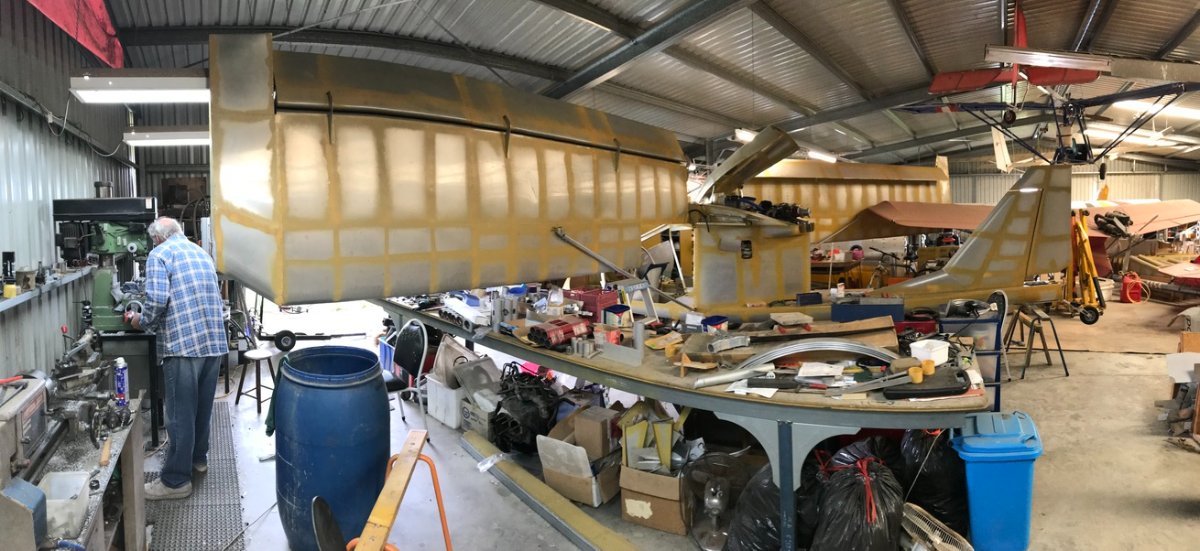
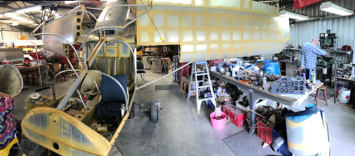
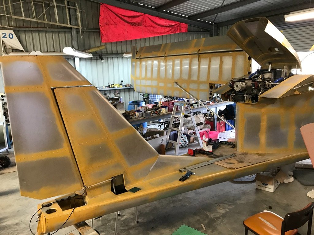
For another perspective on the weekend's activity, here's Planet's airplane-to-be with its speed brakes deployed. ;- ) For a demonstration of the folding concept here's a video of the aircraft's designer - our Pylon500 - showing how it's done. Arthur folds wing.m4v (Meanwhile, planet47 - who's happy to remain anonymous - took a break from riveting this weekend to polish up the nose cone.) And, oh yeah, it does have an engine. It should be a riveting Xmas!

-
It seems that wraparound sunglasses are especially popular with cyclists. https://www.99bikes.com.au/apparel/eyewear/sunglasses I've read that the main reason is to do with peripheral vision being so important to riders; you don't want glasses frames blocking anything from the sides. But, as you say, Nev, there appear to be good reasons for anyone to use them: https://www.eehealth.org/blog/2017/07/not-just-eye-candy/ Choose sunglasses that wrap around your face. Wraparound sunglasses offer additional protection from the sun’s rays. Some studies have even showed that when enough UV rays enter around standard sunglass frames, it reduces the protective benefit of the lenses. A frame that fits close to your eyes and contours to the shape of your face will prevent exposure to UV rays from all sides, even from behind.
-
Best Pilot SunglassesBy FLYING Staff September 8, 2022 https://www.flyingmag.com/guides/best-pilot-sunglasses/
-
But you wouldn't need to file an IFR plan - much less have IFR currency - just to deal with Class C and D control procedures, would you? Many places require that you have "a plan" in the system, nowadays, before you even try for entry clearance but that's not the same as needing an IFR plan and knowledge of IFR procedures. Sure, GA pilots who have never dealt with controlled airspace need to be taught the ropes and get some kind of endorsement. But I suppose that in NZ, and other places, they just roll that competency into the main PPL (and recreational?) syllabus. Makes it all a lot simpler and more equitable.
-
Apparently midair at Gympie at 3pm today, 9/11/22
Garfly replied to Jase T's topic in Aircraft Incidents and Accidents
The idea of using Cockpit Display of Traffic Information (CDTI) as an assist to self separation - even within controlled space - has been around for a while. The adoption of ADSB has just made the practice universally available - in any kind of airspace. This is from 20 years ago. https://ieeexplore.ieee.org/document/1052971 Abstract: The cockpit display of traffic information (CDTI) enhanced flight rules (CEFR) application is an extension of the current visual separation procedure used by ATC. In this application, the flight crew is authorized to use the CDTI in lieu of out-the-window visual contact of an aircraft during visual and instrument approaches. This research is being conducted as part of the Federal Aviation Administration's (FAA's) safe flight 21 program. The initial implementation will require the flight crew to establish visual contact with the traffic to follow prior to losing sight of the aircraft (due to a visibility restricting condition such as a cloud layer or haze). During the period of visual obscuration, the pilot will use CDTI to maintain awareness of the relative position and speed of other traffic. After passing through the visibility restricting condition, and prior to landing, the flight crew will use the CDTI to assist in re-establishing out-the-window visual contact. The CDTI will also be used to initially detect, monitor, and reacquire the traffic to follow more effectively. Some early Ozzie thinking: https://www.icao.int/Meetings/AMC/MA/2005/ADSB_ADSB_TF3/ip10.pdf -
Apparently midair at Gympie at 3pm today, 9/11/22
Garfly replied to Jase T's topic in Aircraft Incidents and Accidents
Ahhh ... okay, got it now. Thanks for the patient explanation. -
Apparently midair at Gympie at 3pm today, 9/11/22
Garfly replied to Jase T's topic in Aircraft Incidents and Accidents
Aro, you are misinformed. ADSB works aircraft to aircraft. There is no significant latency due to a 'similar logic' to internet based traffic displays. Nobody here thinks it's magic. It's science. We agree on one thing, though, "understanding the limitations is the key to improving safety rather than degrading safety." -
Apparently midair at Gympie at 3pm today, 9/11/22
Garfly replied to Jase T's topic in Aircraft Incidents and Accidents
I don't think I understand the point you're making Aro. I'd have thought that a threat approaching close enough for separation to be an issue would go on the useful side of the ledger. What if you're in a high wing and the airprox target is a low wing descending on you from behind, a glance at your iPad screen (as into your rear vision mirror) might be the ONLY thing standing between you and disaster. What's the point of looking outside if you don't know where to look; if the other aircraft is, at that moment, invisible to the eye, for whatever reasons. I've probably experienced a half-dozen unexpected close encounters with other aircraft over the years and in each case the threat emerged out of the blue yonder in a matter of seconds and had whizzed past before any kind of reaction was even thinkable. And you can find dozens of real-life, close-call videos online that all tell exactly the same story. Which, BTW, is why I've always thought of the "clearing turn" as one of aviation's most fervent Hail Marys. It's often done as a ritual, as if just performing it will give some kind of magical protection - never mind that it was done 5 minutes ago and that jet bearing down on your stall practice has travelled 20 miles since the last, ahem, 'clearing'. Also, I don't get the difficulty that you seem to see with "self-separation ... because when you are in reality a long way apart any change to your track doesn't make much difference on the screen." In my experience you can easily judge quite small deviations. ADSB updates every second or so and any threat icon will have a little arrow showing its current direction (plus altitude and vertical trend) and you own ship icon has a longish pointer line indicating clearly where you're headed. The whole situation can be grasped in seconds from the picture on the screen (far better, quicker, safer SA than the best radio chat has to offer.) And I don't see a problem with threat targets not sticking to straight lines. A mere glance updates the danger just as it does with the big semi bearing down on you in the rear view mirror. You see. You avoid. Anyway, you give a good example of all that from your own experience: "yesterday I was inbound to an airfield about 20 miles out when another aircraft departed on a reciprocal track. I was able to delay my descent until we passed each other so I wasn't descending into their path." For sure, there are down-sides to all 'simple solutions' it's just that I haven't come across the same ones you have with SE2, in practice. Of course, the problem remains that the majority of the GA/RA fleet are not ADSB equipped. But that's changing slowly and, anyway, just being able to see and avoid RPTs and flying doctors, alone is definitely worth the price of admission. Anyway, in an earlier post I quoted from the ATSB Mangalore report, thus: "Had each aircraft been fitted with ADS-B IN, and a suitable cockpit display, the occupants would have received the same quality of surveillance information received by the controller. This technology could have prevented this accident from occurring ... // The ATSB also notes that ADS‑B receivers, suitable for use on aircraft operating under both the instrument or visual flight rules, are currently available within Australia at low cost and can be used in aircraft without any additional regulatory approval or expense." And you said about that: Again, I'm not quite sure where you're coming from here. It seems to me you are reading too much into the report. Or perhaps into my juxtaposition of those few selective quotes. Of course, IFR ops in general have little to do with us recreational types. Anyway, I took those passages in the report to suggest that although those aircraft were on IFR plans they were effectively operating in VFR conditions - they would have been cleared to descend into the badlands of G space, I presume. Just like very many commercial flights do every day. These are places where aircraft on IFR plans - but in VMC - need to arrange their own separation from the hoi polloi - and from each other. This is still - for good reasons - done mostly by radio but I think the writers of that report were just moved to point out that even the most basic sub-1K SkyEcho box hooked up to the iPads in the cockpits of those two twins "could have prevented this accident from occurring ..." They were not trying to say that ADSB IN/OUT was all that was needed for IFR self separation. And the UAvionix company very clearly states that the SkyEcho2 is provided ONLY as an aid to traffic awareness by VFR pilots in VMC. IFR and IMC have nothing to do with it. -
Apparently midair at Gympie at 3pm today, 9/11/22
Garfly replied to Jase T's topic in Aircraft Incidents and Accidents
Yes, and even aural alert functionality running EFBs with AvTraffic https://avtraffic.com/# But I think RFguy's experiments aim to take all that to another level. To quote him: "... yeah it's easy enough to do a proximity alert with gps XYZ available ... // ... future motion can be described with a simple set of equations like new location = old location + velocity and direction. One second is a pretty good update rate so it doesn't have to guess much, just project a trajectory. As an object gets closer, it's worthwhile making the algorithm leaky, such that older fix points are weighted lower in the prediction, and the most recent updates weight more heavily. // ... essentially - how it works 1) Acquire time series location data (from ADSB receiver from other aircraft) 2) apply a Kalman filter to that data to get the most likely values- since the raw location data from the ADSB probably has a random magnitude of 5m in XY and 10m in Z. 3) Now we have cleaned data, apply the data to a non linear regression prediction tool . There are many - and quite sophisticated tools and algorithms. 4) predictions are done, paths drawn in 3d space, and for each combination of airplanes, distances calculated as a time series to provide a probability of a conflict Think of the use of a Kalman filter as a zero lag averaging tool." -
Apparently midair at Gympie at 3pm today, 9/11/22
Garfly replied to Jase T's topic in Aircraft Incidents and Accidents
(We already have our own smart guy on the job ;- ) -
Apparently midair at Gympie at 3pm today, 9/11/22
Garfly replied to Jase T's topic in Aircraft Incidents and Accidents
Yes, and I guess the AV-30C (which is an installed PFD instrument) is also plumbed into the aircraft's pitot static system. The SkyEcho2 is measuring its Pressure Altitude from the cabin where it's mounted and that can vary - even in basic aeroplanes - from static port values. So there's another possible error right there. But we're not using the device to 'just-miss' conflicting traffic vertically in IMC. And, in any case, all indications are rounded to the nearest 100'. Whenever unknown traffic shows up on the screen with 00X relative altitude (i.e less than 1000') I reckon it's time for a good look outside in the indicated direction. (To me the 00 stands for "Uh, Oh!" ;- ) -
Apparently midair at Gympie at 3pm today, 9/11/22
Garfly replied to Jase T's topic in Aircraft Incidents and Accidents
I believe that all ADSB altitude encoders (like Mode C) work on the basis of Pressure Alt. - effectively, Flight Level -so that all aircraft are on the same pressure datum (necessary for self separation by cockpit display). This would typically vary by several hundred feet from AMSL values. I've read that ATC automatically correct the PA values for QNH below the transition level and that this is partly why controllers routinely check on the correction by requiring pilots to report altitude. Maybe some of our ATC people could confirm and/or enlighten us on this point. -
Say what?! The report says it was an accident on takeoff. Newly qualified pilots shouldn't take off over water?? Nothing 'straightforward' here but the tendency to blame fellow pilots right off the bat.
-
https://en.wikipedia.org/wiki/Fairchild_XC-120_Packplane
-
-
Apparently midair at Gympie at 3pm today, 9/11/22
Garfly replied to Jase T's topic in Aircraft Incidents and Accidents
By the way, when it comes to FLARM and ADSB (at least in the UK context) it's not necessarily an either/or situation. https://flyer.co.uk/flarm-and-uavionix-to-collaborate-on-electronic-conspicuity/